
Chartplotter and Electronic Navigation
Using a chartplotter and electronic charts safely: electronic charts and their data quality, GNSS and its failures, the safety contour and anti-grounding alarms, planning and checking routes, monitoring a passage, watchkeeping and equipment failures, with hands-on exercises in the Chartplotter Trainer.
Choose your instructor
Your instructor talks you through the films in every lesson. You can change at any time.
Log in to track your progress and pick up where you left off.
Foundations
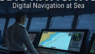 Electronic aids and the rules
What the electronic aids are, and what the rules expect of you when you use them.
Electronic Charts
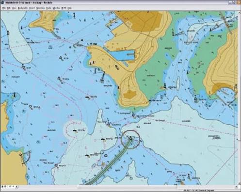 Electronic charts
Raster and vector charts, how ENCs are displayed, datums and updates, and how good the data is.
Position
 GNSS and your position
How GNSS works, how accurate it is, how it fails, and checking it by other means.
Using the Plotter
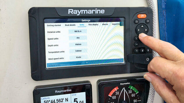 Setting up the display
Driving the unit, the safety contour and depth, and alarms and the anti-grounding look-ahead.
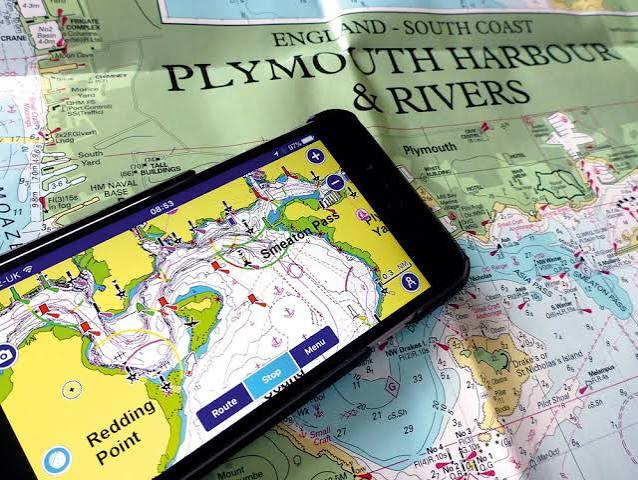 Route planning and checking
Building a route, checking it across its corridor, and planning for the tide.
Navigating
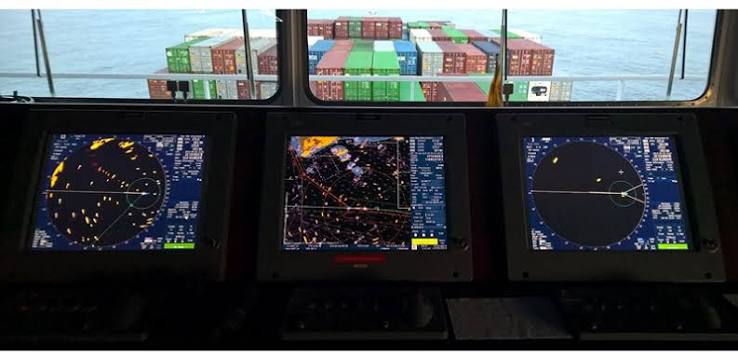 Monitoring a passage
Cross-track error, fixing by other means, and the echo sounder and log.
Watchkeeping
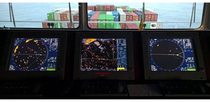 Watchkeeping and failures
Handing over a watch, keeping records, and what to do when equipment fails.
Passage Practice
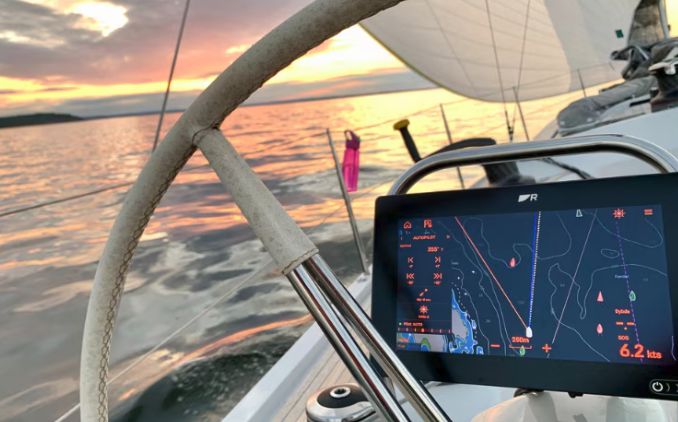 Passage practice
Putting it all together: plan, check and run a passage on the trainer.
Final Test
 Final test
A self-marking test on the whole course: electronic charts, GNSS, the plotter's safety settings, routes, monitoring and watchkeeping.